![]() Antiquarian Books, Maps, Prints & Photographs II
Antiquarian Books, Maps, Prints & Photographs II
![]() Antiquarian Books, Maps, Prints & Photographs II
THOMAS COWPERTHWAIT (July 25, 1844 - June 25, 1916)
Antiquarian Books, Maps, Prints & Photographs II
THOMAS COWPERTHWAIT (July 25, 1844 - June 25, 1916)
CONTACT US
Catalogue & Viewing
Lot Closed
Accounts & Shipping
Lot Closed
-
Details
 Details
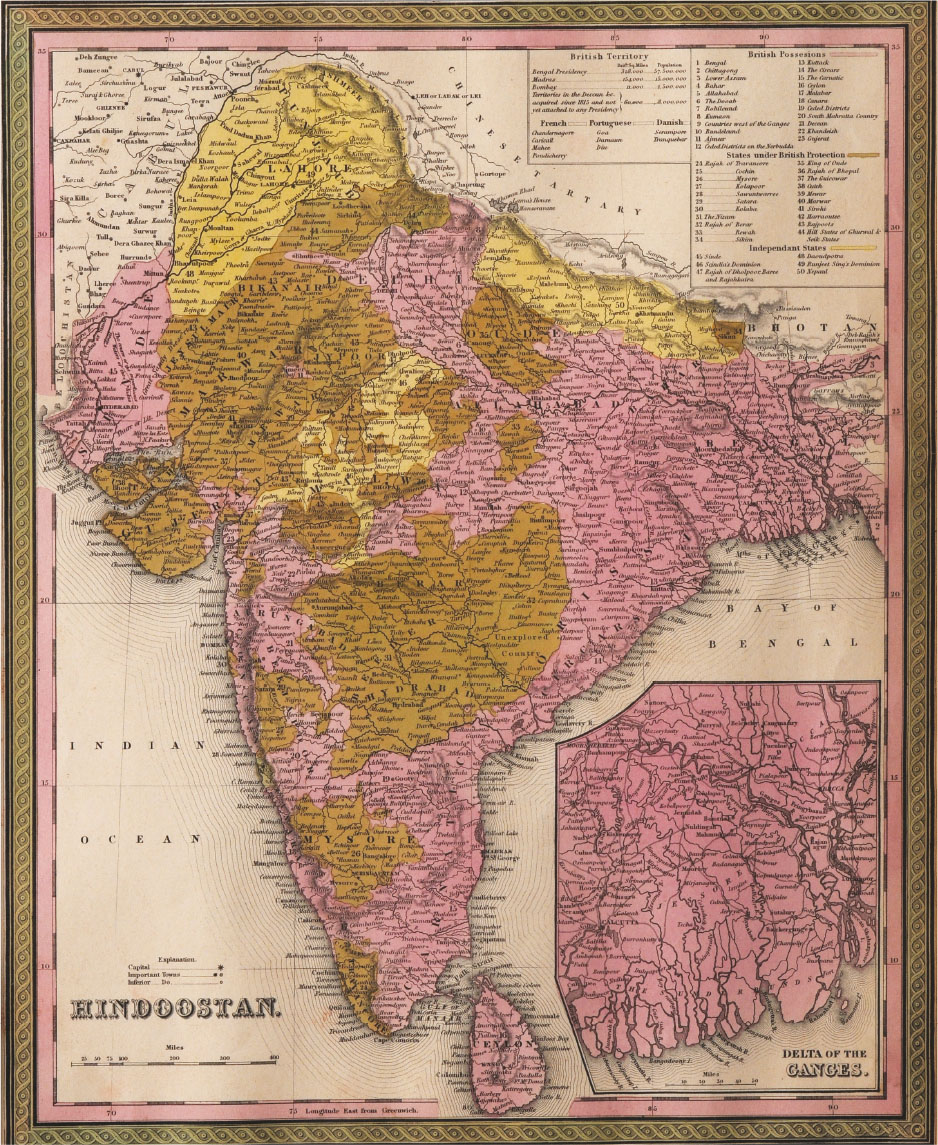
Hindoostan; A fine example of Thomas Cowperthwait and S. A. Mitchell’s 1854 map of India. Covers the Subcontinent from the Chinese Tartary in the north to Ceylon in the south, and from the Indus River valley in the west to Bengal in the east. This map includes two insets, one detailing the Delta of the Ganges and another listing the states of India in tabular format. The whole is engraved in Mitchell’s distinctive style with green border work and vivid pastels. Political and topographical features are noted and color coded with elevation rendered by hachure. This map was prepared by S. A. Mitchell for publication by the Philadelphia firm of Thomas Cowperthwait & Co. as plate no. 69 in the 1854 edition of Mitchell’s New General Atlas. Dated and copyrighted, "Entered according to act of Congress in the year 1850 by Thomas Cowperthwait & Co. in the Clerk's office of the Eastern District of Pennsylvania."Mounted, glazed and framed.
