![]() Antiquarian Books, Maps, Prints & Photographs - I
Antiquarian Books, Maps, Prints & Photographs - I
![]() Antiquarian Books, Maps, Prints & Photographs - I
L’ INDOUSTAN BELLIN,J.N.
Antiquarian Books, Maps, Prints & Photographs - I
L’ INDOUSTAN BELLIN,J.N.
CONTACT US
Catalogue & Viewing
Lot Closed
Accounts & Shipping
Lot Closed
-
Details
 Details
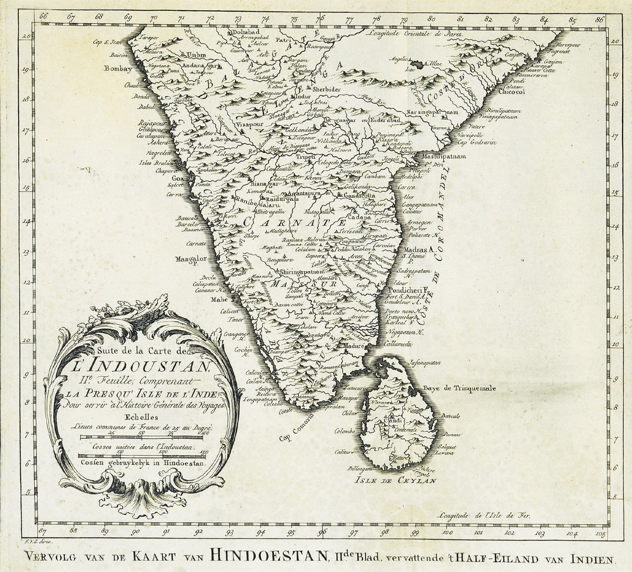
Carte de l’ Indoustan IIe Feuille, comprenant la Presqu’ Isle de l’ Inde. 1752. Antique map published in Paris, 1752 excellent Jaques Nicolas Bellin (1702-720) was the most important French hydrographer of the 18th century. Sea-atlas ‘Hydrographique Français’ , 1756-65, atlas to accompany Prévost d’ Exile’s ‘ Histoire. des Voyages’, 1738-75.Nicolas Bellin’s map of Southern India and Sri Lanka.Mounted, glazed,& framed.
