![]() Antiquarian Books, Maps, Prints & Photographs II
Antiquarian Books, Maps, Prints & Photographs II
![]() Antiquarian Books, Maps, Prints & Photographs II
J. THOMSON (1782 - 1878)
Antiquarian Books, Maps, Prints & Photographs II
J. THOMSON (1782 - 1878)
CONTACT US
Catalogue & Viewing
Lot Closed
Accounts & Shipping
Lot Closed
-
Details
 Details
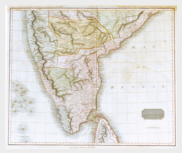
British India, Southern Part; this fascinating hand colored 1814 map by Edinburgh cartographer John Thomson depicts southern India covering Bombay in the north to the northern part of Ceylon or Sri Lanka. Map is color coded according to the figures that dominated each region. British controlled areas are red, the territory of Nabob of Oude is orange, the Berar Rajah is green, the regions controlled by the King of Candy are brown, etc. A very spectacular and highly detailed map of this fascinating region and one of the finest maps of India to appear in the 19th century.
