![]() Antiquarian Books, Maps, Prints & Photography
Antiquarian Books, Maps, Prints & Photography
![]() Antiquarian Books, Maps, Prints & Photography
HINDOOSTAN
Antiquarian Books, Maps, Prints & Photography
HINDOOSTAN
CONTACT US
Catalogue & Viewing
Lot Closed
Accounts & Shipping
Lot Closed
-
Details
 Details
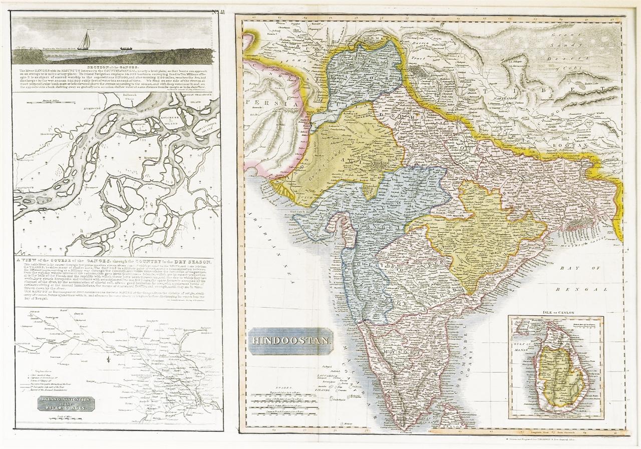
A magnificent map and the rarest of the Thomson India series. This is the 1814 map of India with inset maps of the Ganges River by Edinburgh cartographer John Thomson. Depicts the whole of India from Lahore to the island of Ceylon (Sri Lanka). Left hand side of the map is dedicated to a careful mapping of the Ganges River. Includes a cross–section of the Ganges, a map of the course of the Ganges in the dry season, and a map of the Inland Navigations routes along the river from the Bay of Bengal to Allahabad. This map’s magnificent size, beautiful color, and high detail make this one of the finest maps of this region to appear in the early 19th century. Dated 1814.
