![]() Antiquarian Books, Maps, Prints & Photographs II
Antiquarian Books, Maps, Prints & Photographs II
![]() Antiquarian Books, Maps, Prints & Photographs II
A. J. JOHNSON (1827 - 1884)
Antiquarian Books, Maps, Prints & Photographs II
A. J. JOHNSON (1827 - 1884)
CONTACT US
Catalogue & Viewing
Lot Closed
Accounts & Shipping
Lot Closed
-
Details
 Details
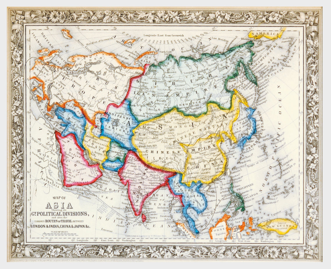
Map of Asia showing its Gt. Political Divisions and also the various Routes of Travel Between London & India, China & Japan & c. A beautiful example of S. A. Mitchell Jr.’s 1864 map of Asia. Makes note of the steamship routes and mileages from London to various destinations in Asia. Denotes both political and geographical details. One of the most attractive American atlas maps of this region to appear in the mid 19th century. Features the floral border typical of Mitchell maps from the 1860-65 period. Prepared by W. Williams for inclusion as plate no. 77 in the 1864 issue of Mitchell’s New General Atlas. Dated and copyrighted, “Entered according to Act of Congress in the Year 1860 by S. A. Mitchell Jr. in the Clerk’s Office of the District Court of the U.S. for the Eastern District of Pennsylvania.” 1860 (dated), Mounted, Glazed and Framed
